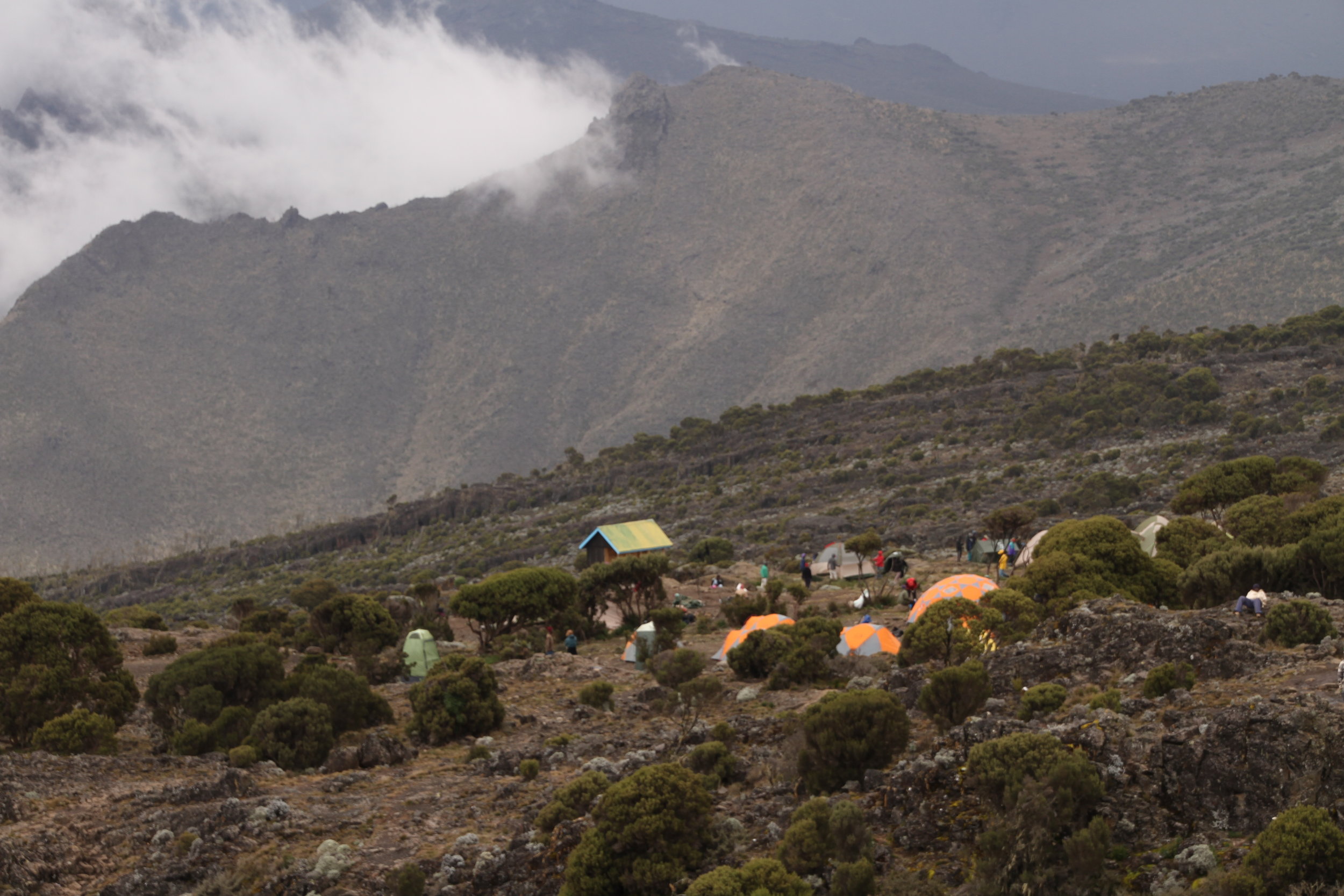
Lemosho 8 Day via Stella Point
(L8S)
WHY THIS ITINERARY?
This is the complete Kilimanjaro experience in a very good acclimatisation profile. More acclimatisation time, more spectacular scenery and it ticks all the boxes for those wishing to see as many of the sights that makes Kilimanjaro famous.
DESCRIPTION
An 8 day ascent to the roof of Africa. Starting at Lemosho on the Western side and traversing across the most spectacular parts of the mountain. It joins the Machame route above Shira Camp on day 4 and then from Barafu camp ascends to the summit via Stella Point. Descent is via the Mweka route.
HIGHLIGHTS
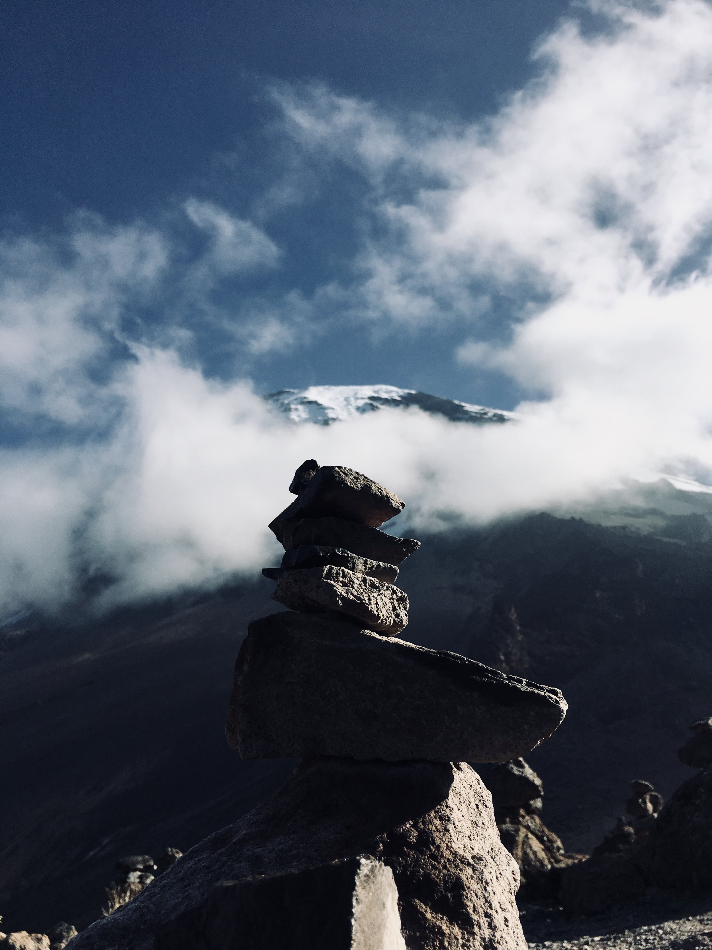
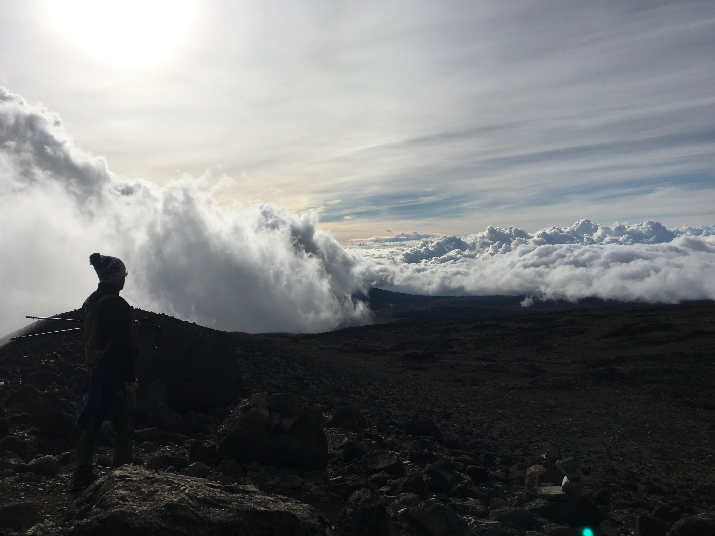
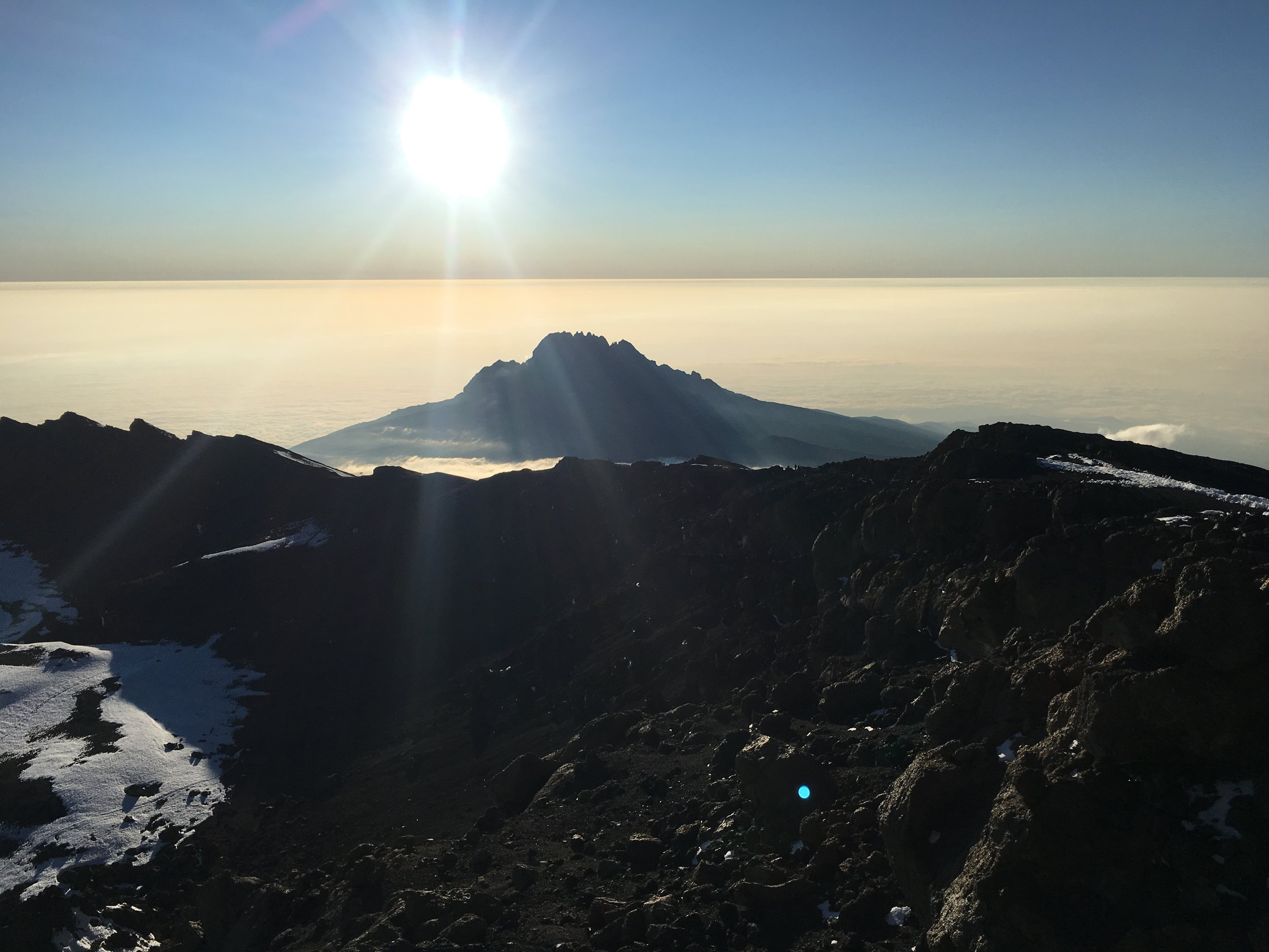
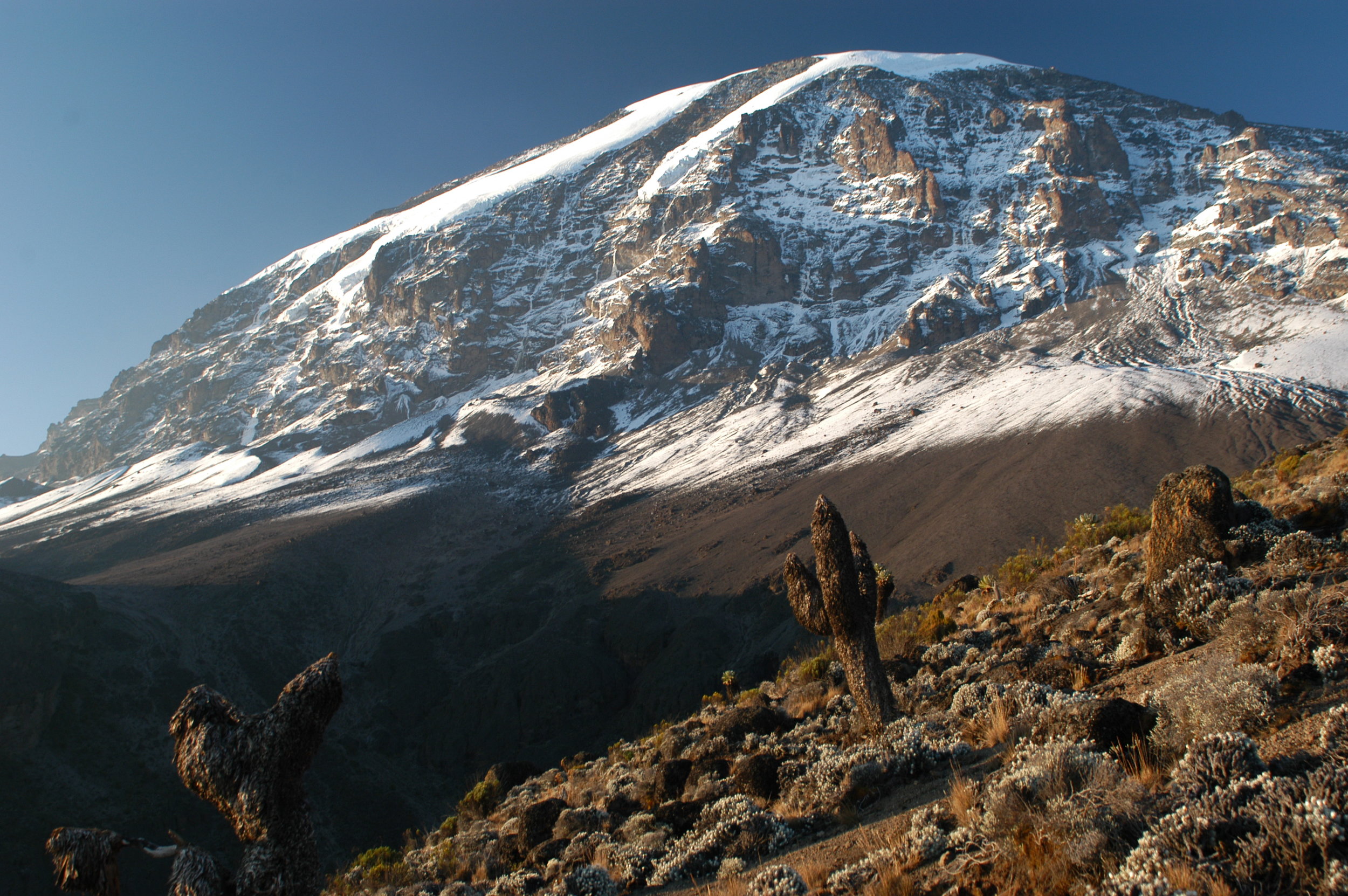
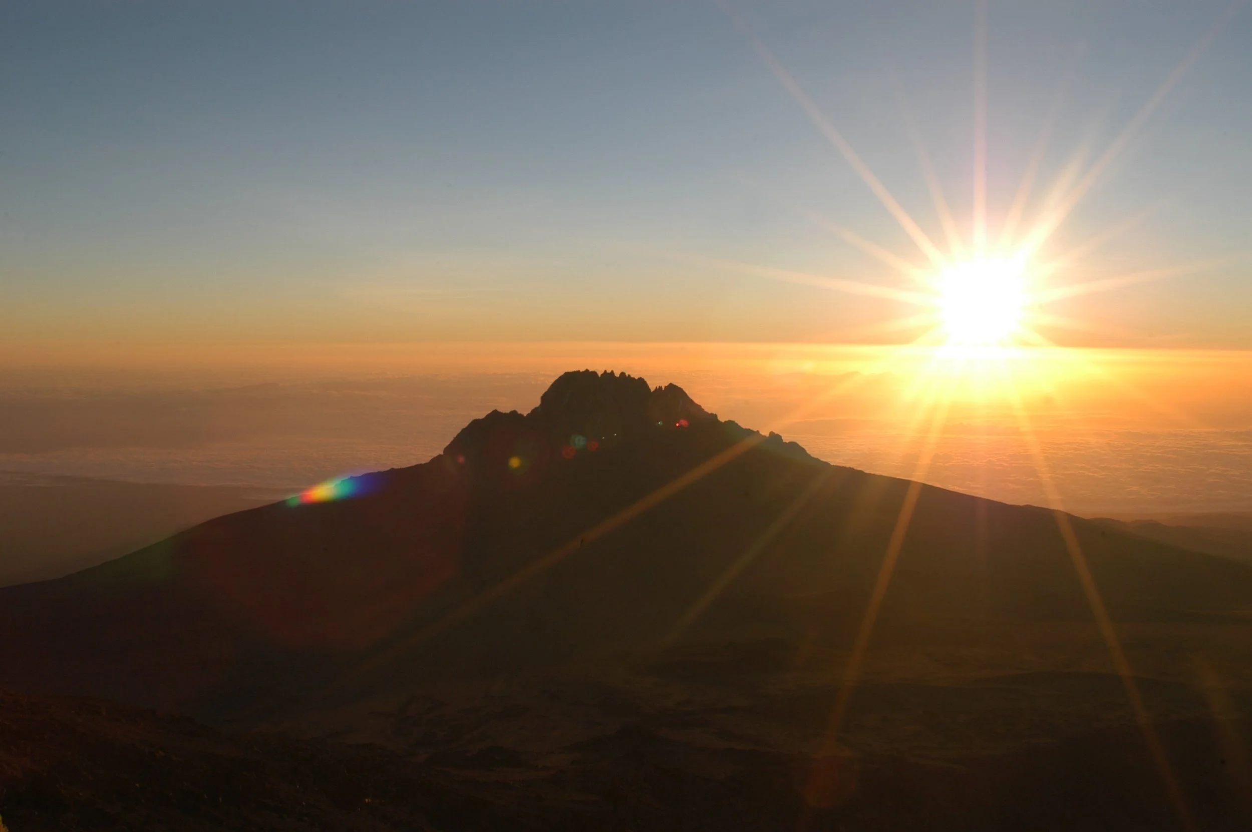
Kilimanjaro! afromontane forest, Shira plateau, glacial valleys and alpine desert, views of Mawenzi, ascent of Kibo and possible views of Kibo caldera and ash pit. Glaciers and the roof of Africa!
ITINERARY
map coming soon
In Brief
Hike Distance – 37miles / 64 km
Vertical Gain – 15,441ft / 4706m
Drop – 16,070ft / 4898m
Trekking Time – 52 hours
In Detail
DAY 1 – LEMOSHO FOREST
START – 6,890FT / 2100M
END – 8,695FT / 2650M
DISTANCE – 4 MILES / 7KM
TIME – 4-6 HRS
CLIMATE ZONE – AFROMONTANE FOREST
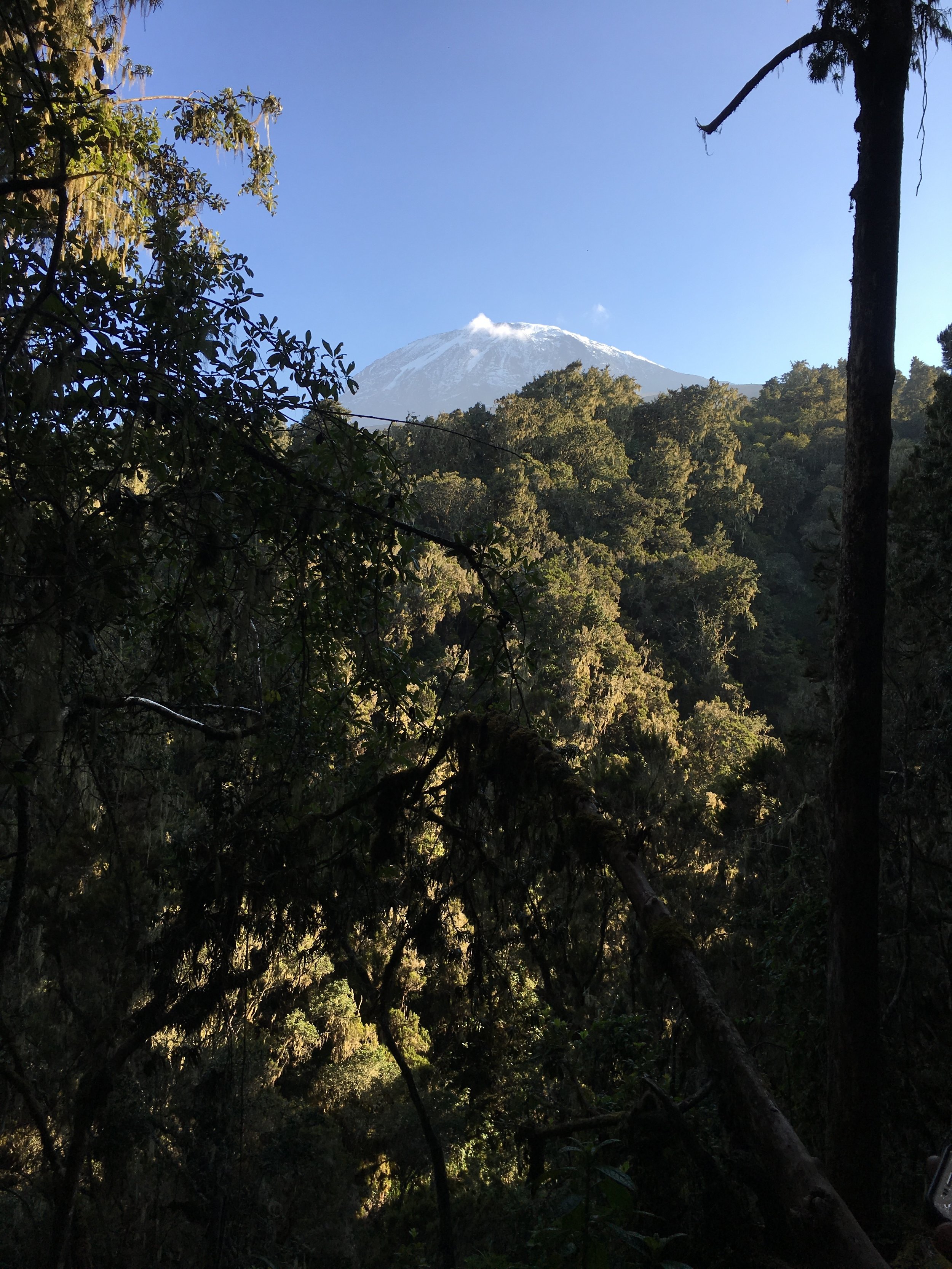
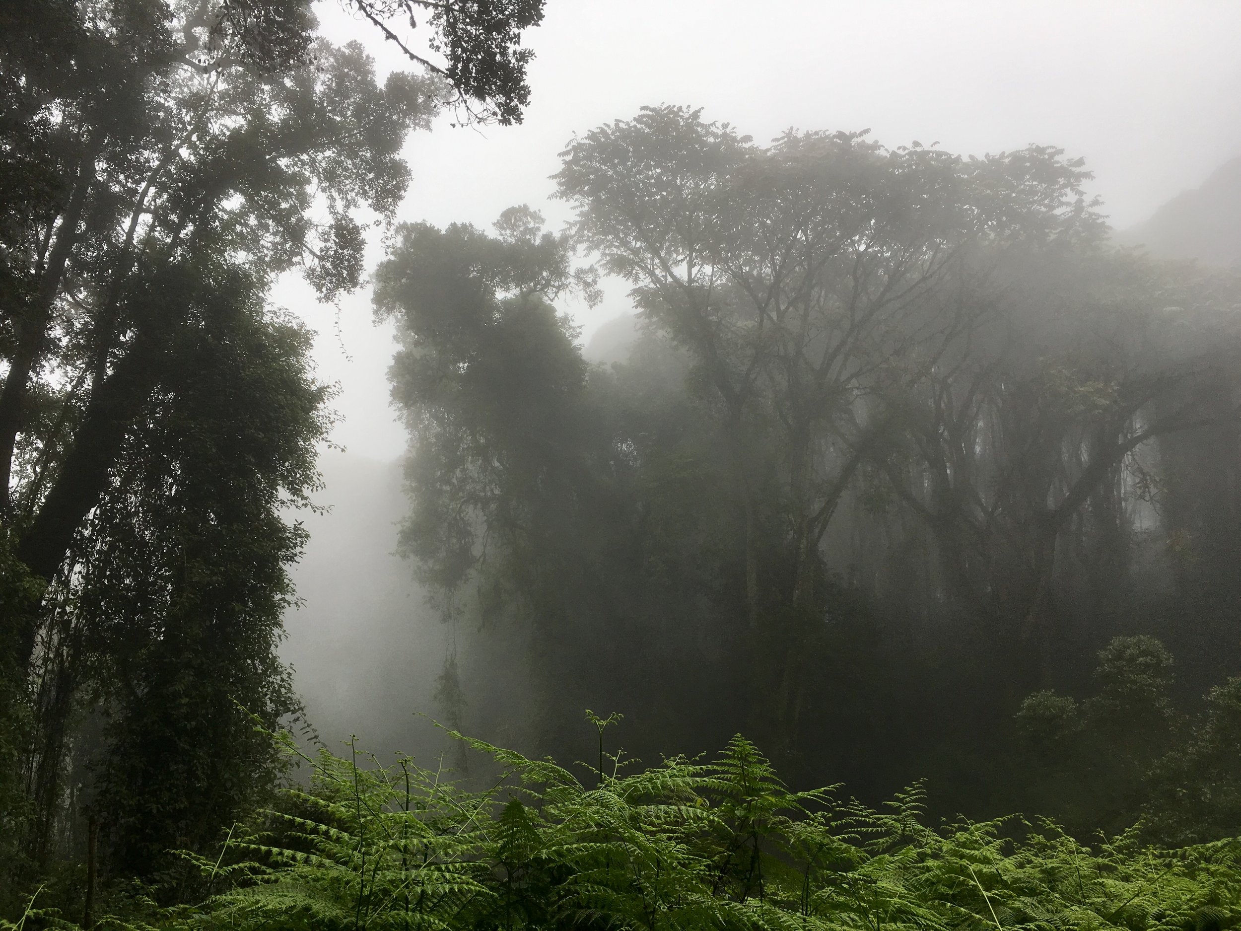
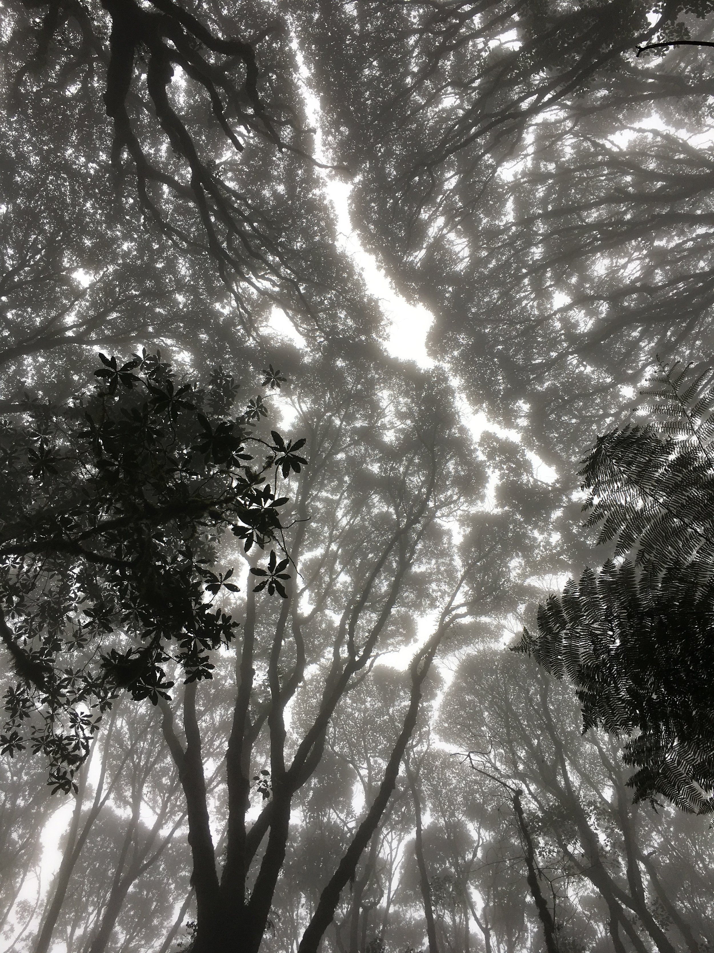
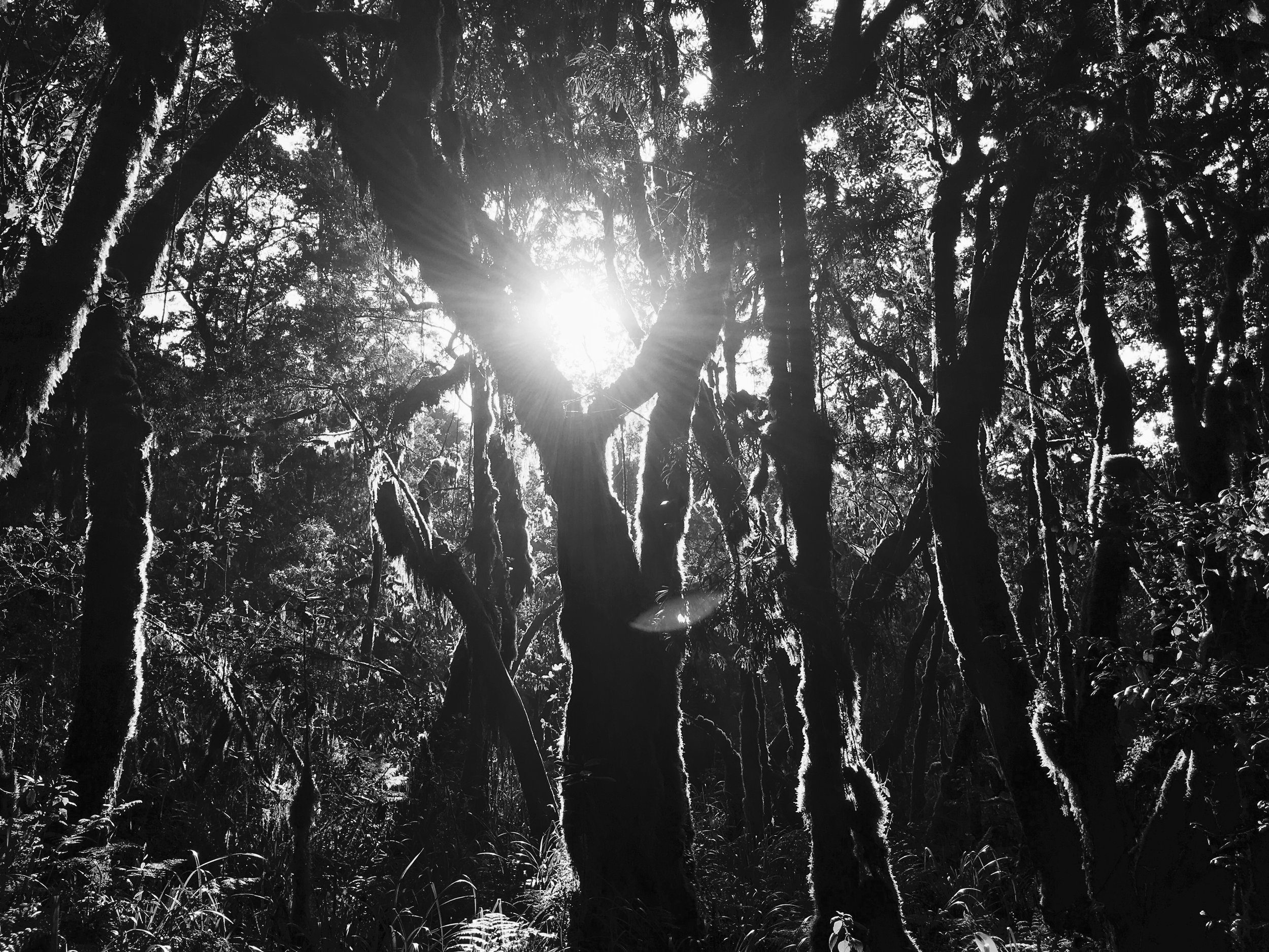
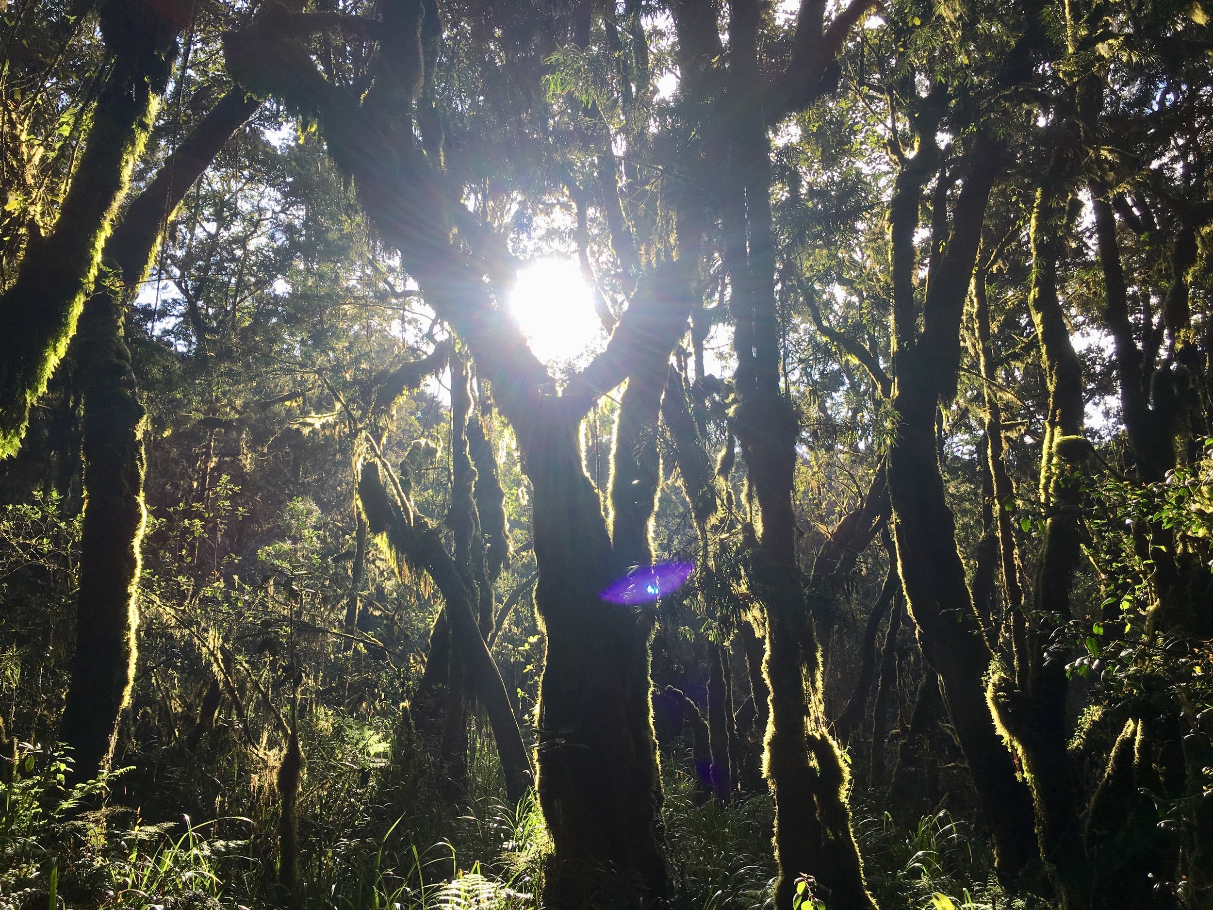
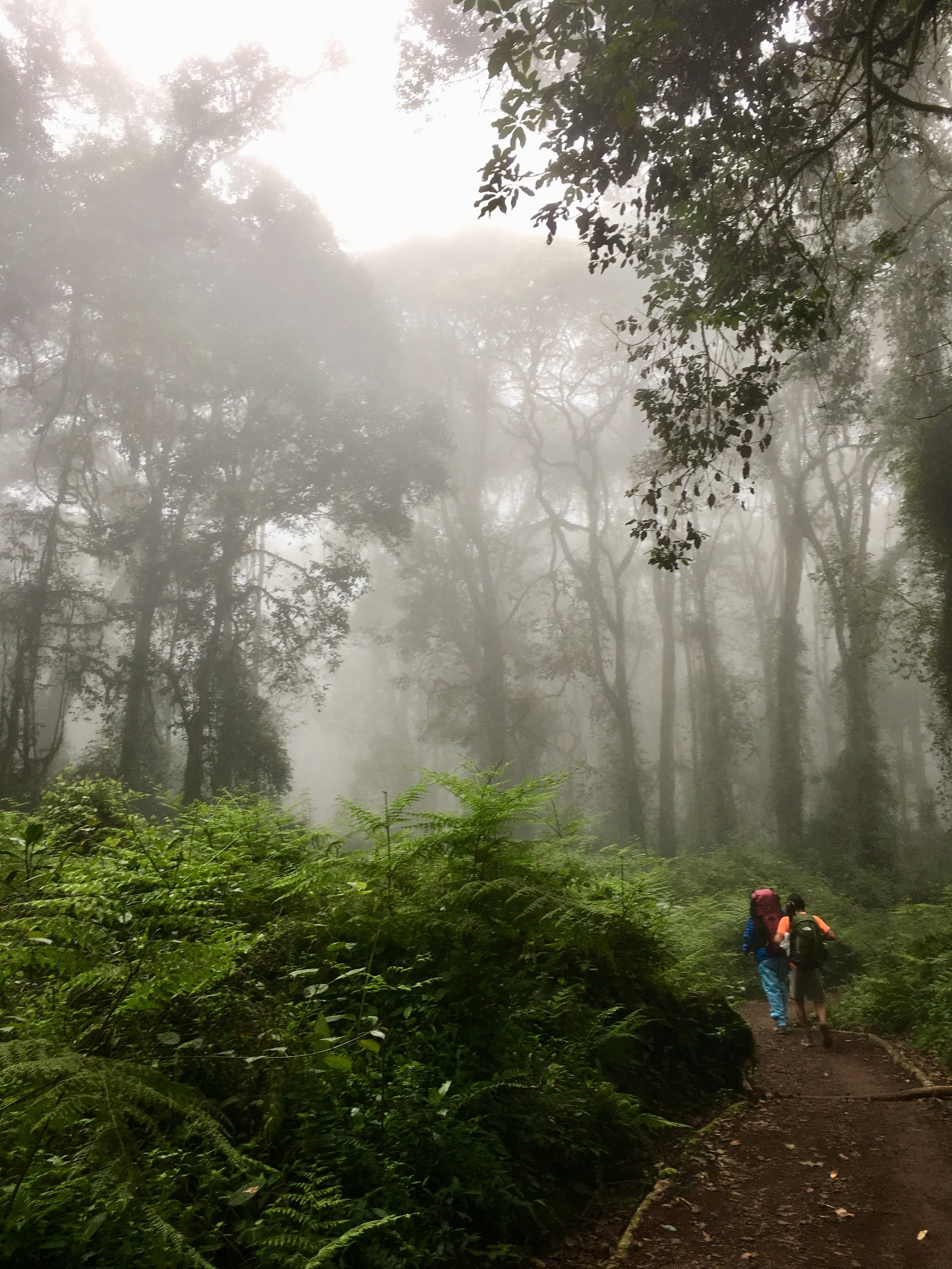
After breakfast you depart by vehicle to Kilimanjaro National Park. At the gate your crew finalise packing and after finishing with formalities you return to your vehicle for another 30 minutes or so until you arrive at the start of the Lemosho Trail. Today's hiking is through verdant afromontane forest and is steep in places. A picnic lunch is usually taken on trail during the hike before reaching Forest Camp for the night.
DAY 2 – SHIRA 1
START – 8,695FT / 2650M
END – 11,844FT / 3610M
DISTANCE – 4 MILES / 7KM
TIME – 5-7 HRS
CLIMATE ZONE – HEATH
From the forested slopes of Lemosho you ascend through Podocarpus and Juniper forest and break out of the forest on to the heath zone and the Shira Plateau. A hot lunch is taken at Shira 1 Camp and the rest of the afternoon is spent relaxing and acclimatising to the new environment.
DAY 3 – MOIR CAMP
START – 11,844FT / 3610M
END – 13,780FT / 4200M
DISTANCE – 6 MILES / 10KM
TIME – 4-5 HRS
CLIMATE ZONE – ALPINE DESERT
Crossing the Shira plateau can be one of the most scenic parts of the trip and this morning we hike for around 4-5 hours to Moir Camp, where lunch is taken. The afternoon is spent acclimatising and for those with the energy a hike in the late afternoon up to a viewpoint is highly recommended to keep the blood flowing.
DAY 4 – BARRANCO CAMP
START – 13,780FT / 4200M
END – 12,796FT / 3900M
DISTANCE – 7 MILES / 11KM
TIME – 7-9 HRS
CLIMATE ZONE – ALPINE DESERT
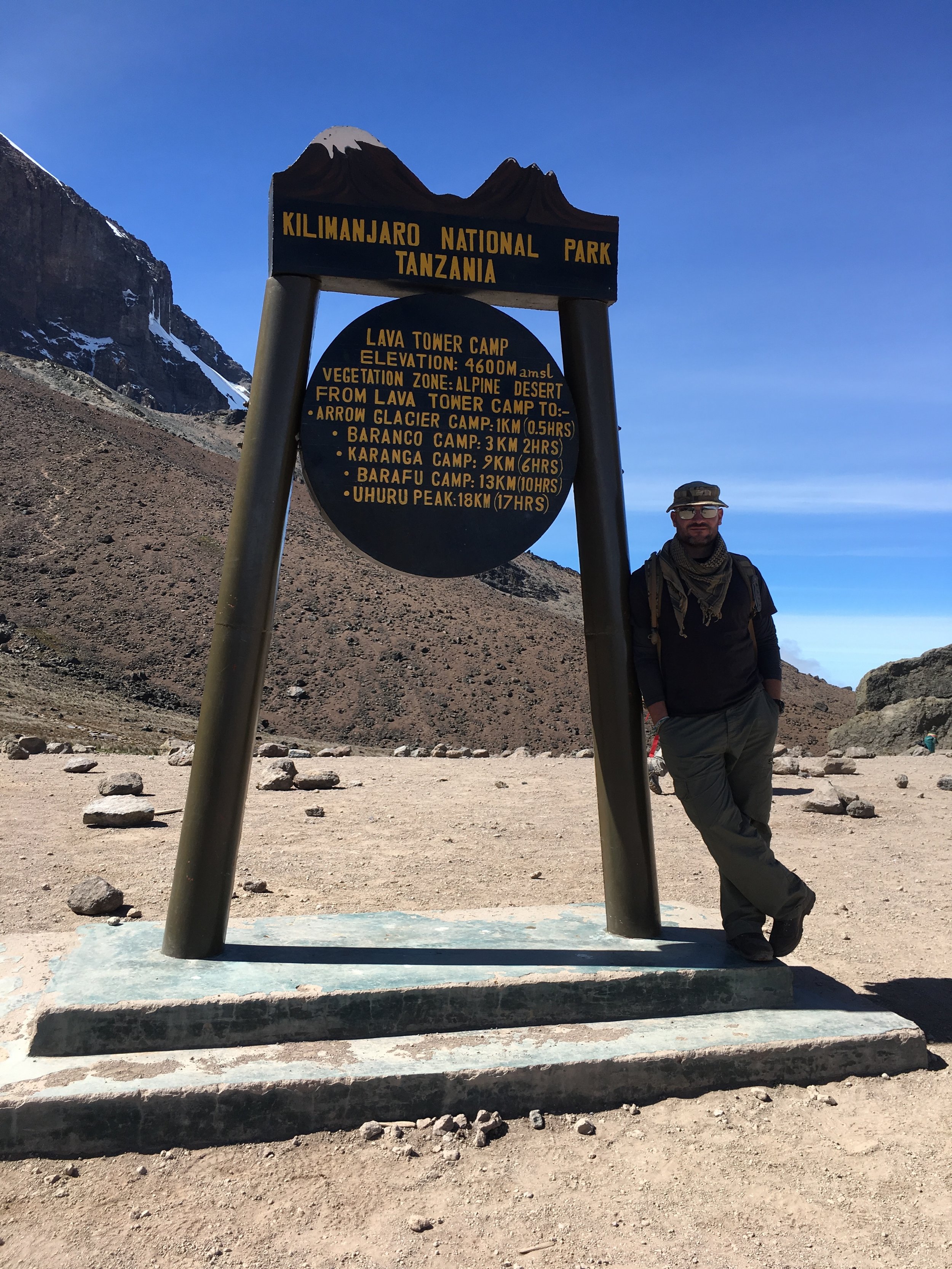
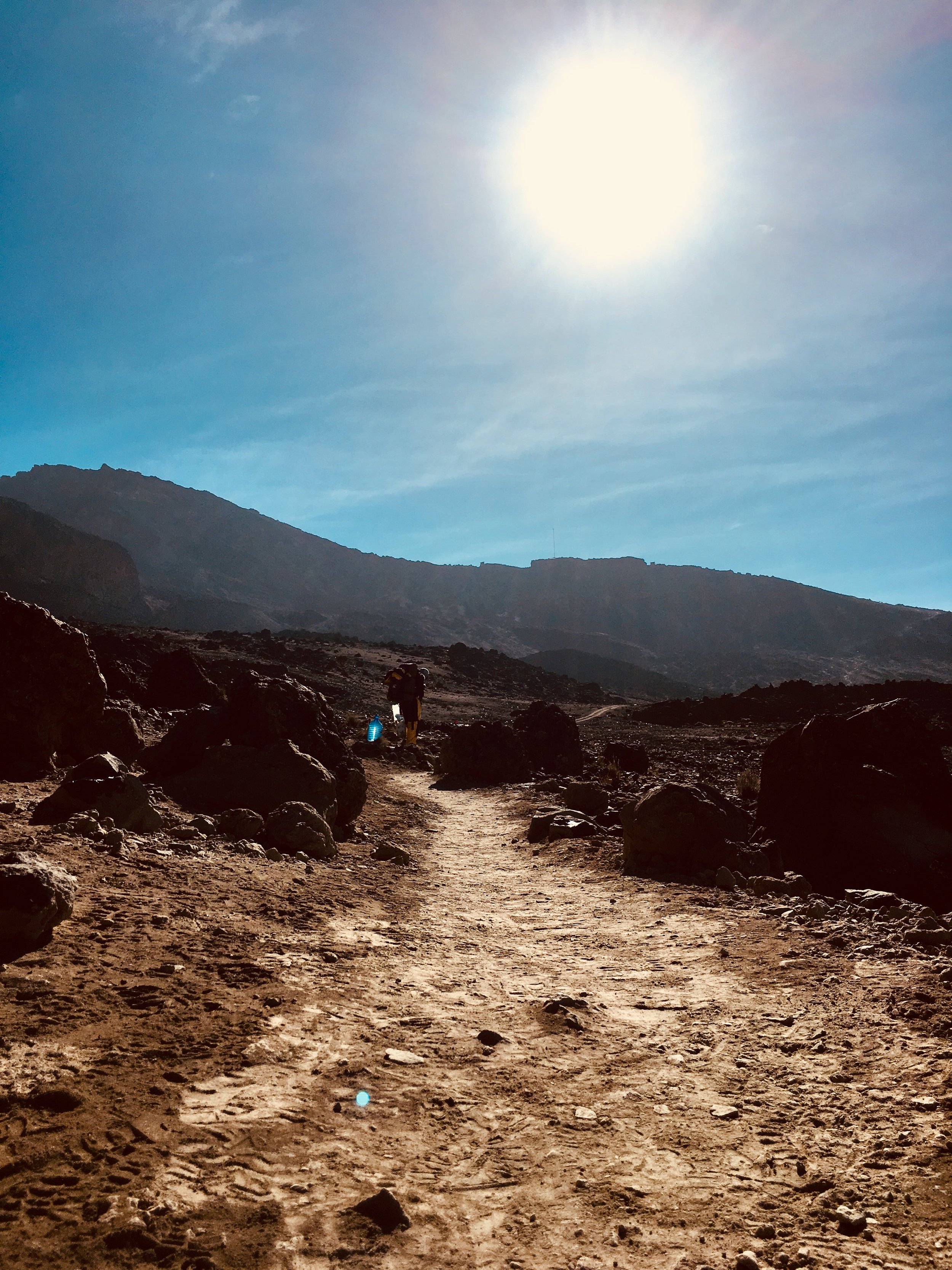
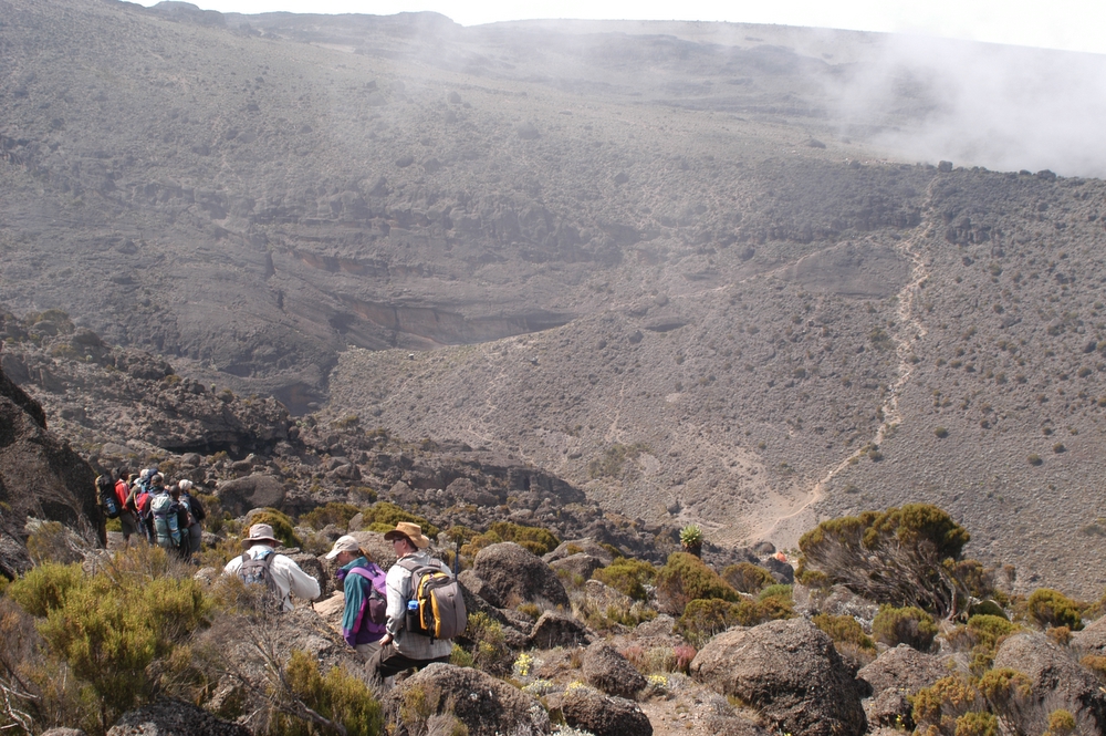
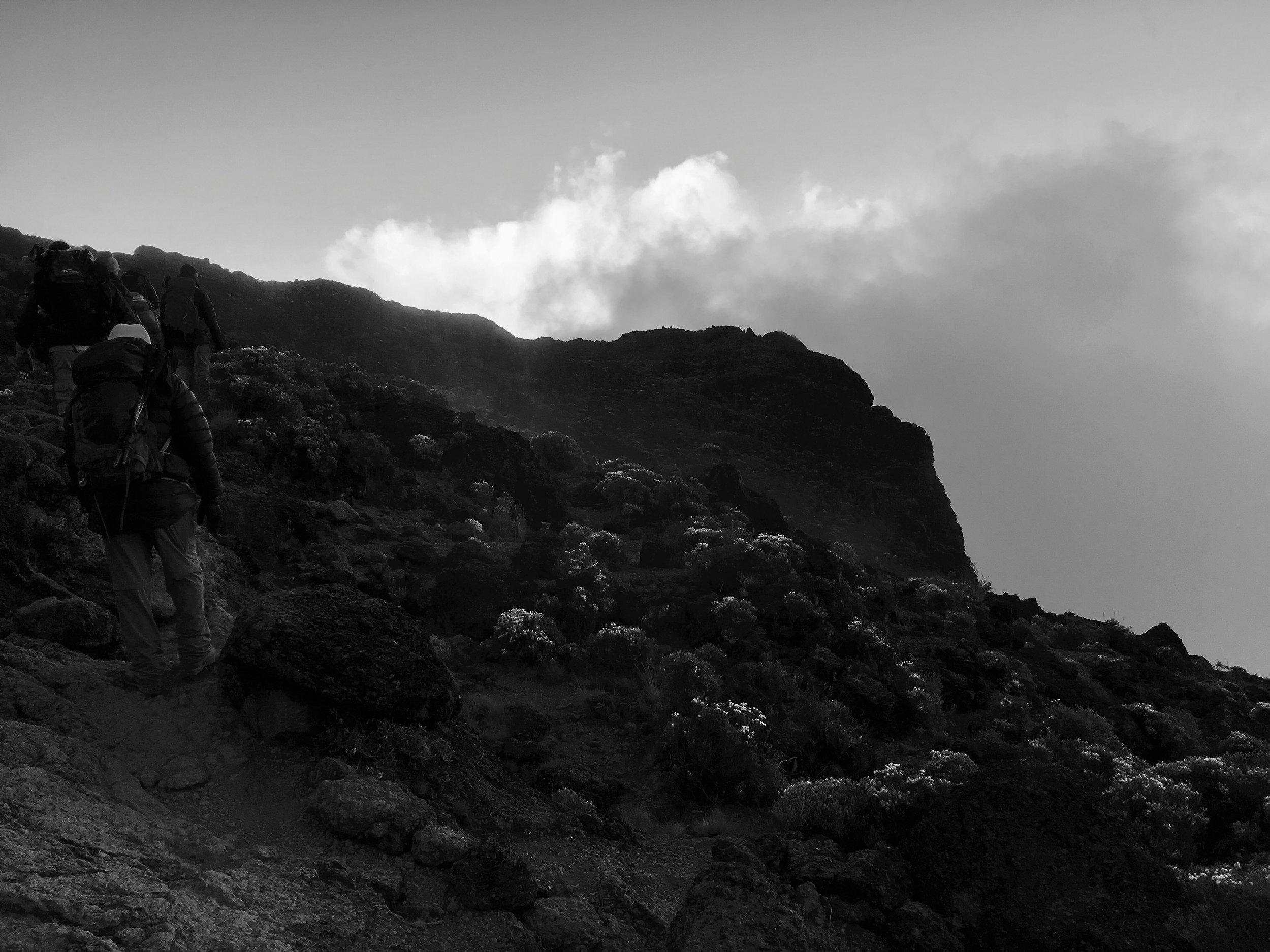
From Moir we traverse across the slopes of Kibo. Here relatively little flora or fauna can survive the extreme temperature ranges and conditions that typify this zone. Today is a “walk high sleep low” day. You ascend into alpine desert to Lava Tower (Alt: 15,092ft, 4600m) where lunch is taken before descending to Barranco Camp. This is a long day but note that the next time you head to this altitude is in two days time at base camp – a great acclimatisation day!
DAY 5 - KARANGA CAMP
START – 12,796FT / 3900M
END – 13,108FT / 3995M
DISTANCE – 3 MILES / 5KM
TIME – 4-5 HRS
CLIMATE ZONE – ALPINE DESERT
From Barranco Camp, famous for its giant groundsels (Senecio species), you ascend the Barranco Wall and hike glacial valleys to Karanga Camp. Today is a relatively short day’s hike and lunch is taken at Karanga camp. The afternoon is spent relaxing and acclimatising. In the evening a practice walk for the summit is taken to make sure you are completely comfortable with the kit you are going to summit in.
DAY 6 – BARAFU CAMP
START – 13,108 / 3,995M
END – 15,332FT / 4673M
DISTANCE – 2.5 MILES / 4KM
TIME – 4-5 HRS
CLIMATE ZONE – ALPINE DESERT
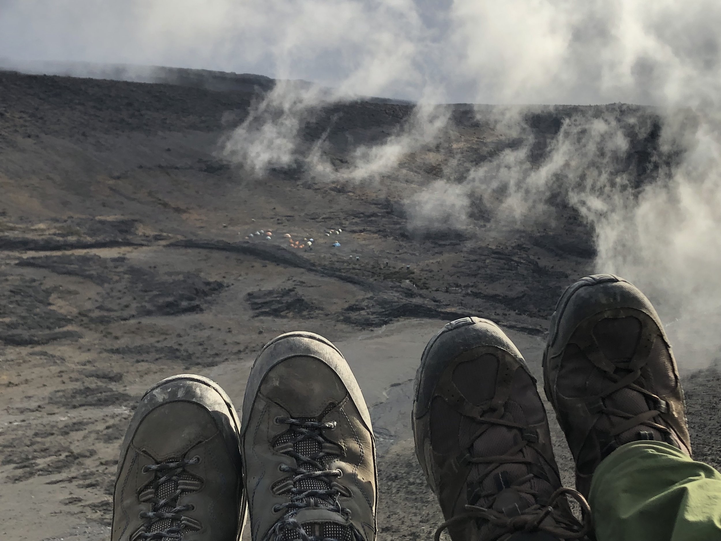
Today is another half day ascending to Barafu Camp. Once again lunch is taken in camp allowing plenty of time to relax before the summit bid. Desolate alpine desert and, at times, strong winds rip over this camp; yet in the evening splendid views of Mawenzi are the norm. A relatively early dinner is taken before heading to rest for the remainder of the evening.
DAY 7 - KILIMANJARO SUMMIT / MWEKA CAMP
START – 15,332FT / 4673M
END – 10,171FT / 3100M
DISTANCE – 11 MILES / 18KM
TIME – 14-16 HRS
CLIMATE ZONES – ALPINE DESERT, ARCTIC, HEATH
Most people depart just before midnight for the final summit bid. Patience and persistence are the name of game to reach the summit (Uhuru Peak: 19341ft, 5895m) and by dawn as the first rays of light start to appear, most arrive near the rim. Ascending via Stella Point (Alt: 18,865ft, 5750m) affords a relatively short final section to Uhuru Peak, the Roof of Africa! What goes up must come down however. The first stage is to get back to our base camp for a quick change of clothes and refuel before the long hike downhill to Mweka Camp. The downhill is hard on the knees and walking poles at this stage are highly recommended. You should reach Mweka Camp before dusk for your final night on the mountain.
DAY 8 – ARUSHA
START – 10,171FT / 3100M
END – 5,381FT / 1640M
DISTANCE – 6 MILES / 10KM
TIME – 3-4 HRS
CLIMATE ZONE – AFROMONTANE FOREST
After breakfast you descend once again through afromontane forest and around midday, after saying farewell to your crew, you are picked up and transferred back to your lodge for a well deserved shower! Later that evening you will be visited by a Summits Africa Representative to congratulate you, to find out how the trip went and to answer any final questions you may have about your onward journey.
