Lemosho 8 Day Western Breach
no crater night
(L8WB)
WHY THIS ITINERARY?
A great adventure. Not for the fainthearted or unfit, this route follows the exact same path as the 8 day Lemosho via the Western Breach but with NO CRATER overnight. We strongly recommend this itinerary for those wanting to do the western breach as it offers a lower level of risk for CREW. Note: this itinerary is not for beginners but for those with experience of altitude and mountaineering due to the increased risk of rock fall in the Western Breach.
DESCRIPTION
A 8 day ascent to the roof of Africa. Starting at Lemosho on the Western side and traversing across the most spectacular parts of the mountain including the Shira plateau, Lava Tower, Arrow Glacier and then up the Western Breach on to the Kibo caldera floor. The ascent to the summit is a relatively short steep hike up the Kibo rim. Descent is via the Mweka route.
Please note: This route is inherently more dangerous than other routes for the simple reason that the Western Breach has a history of rockfall. Those ascending this route must sign an additional indemnity and be very aware of these risks and in light of that this route should only be undertaken by fit individuals with experience of altitude and adventurous training.
HIGHLIGHTS
Kilimanjaro! afromontane forest, Shira plateau, glacial valleys and alpine desert, Lava Tower, The Western Breach, the Crater floor, The Roof of Africa!
ITINERARY
In brief
Hike Distance – 36 miles / 59 km
Vertical Gain – 12,451ft / 3795m
Drop – 13,961ft / 4255m
Trekking Time – 40 hours
In Detail
DAY 1 – LEMOSHO FOREST
START – 6,890FT / 2100M
END – 8,695FT / 2650M
DISTANCE – 4 MILES / 7KM
TIME – 4-6 HRS
CLIMATE ZONE – AFROMONTANE FOREST
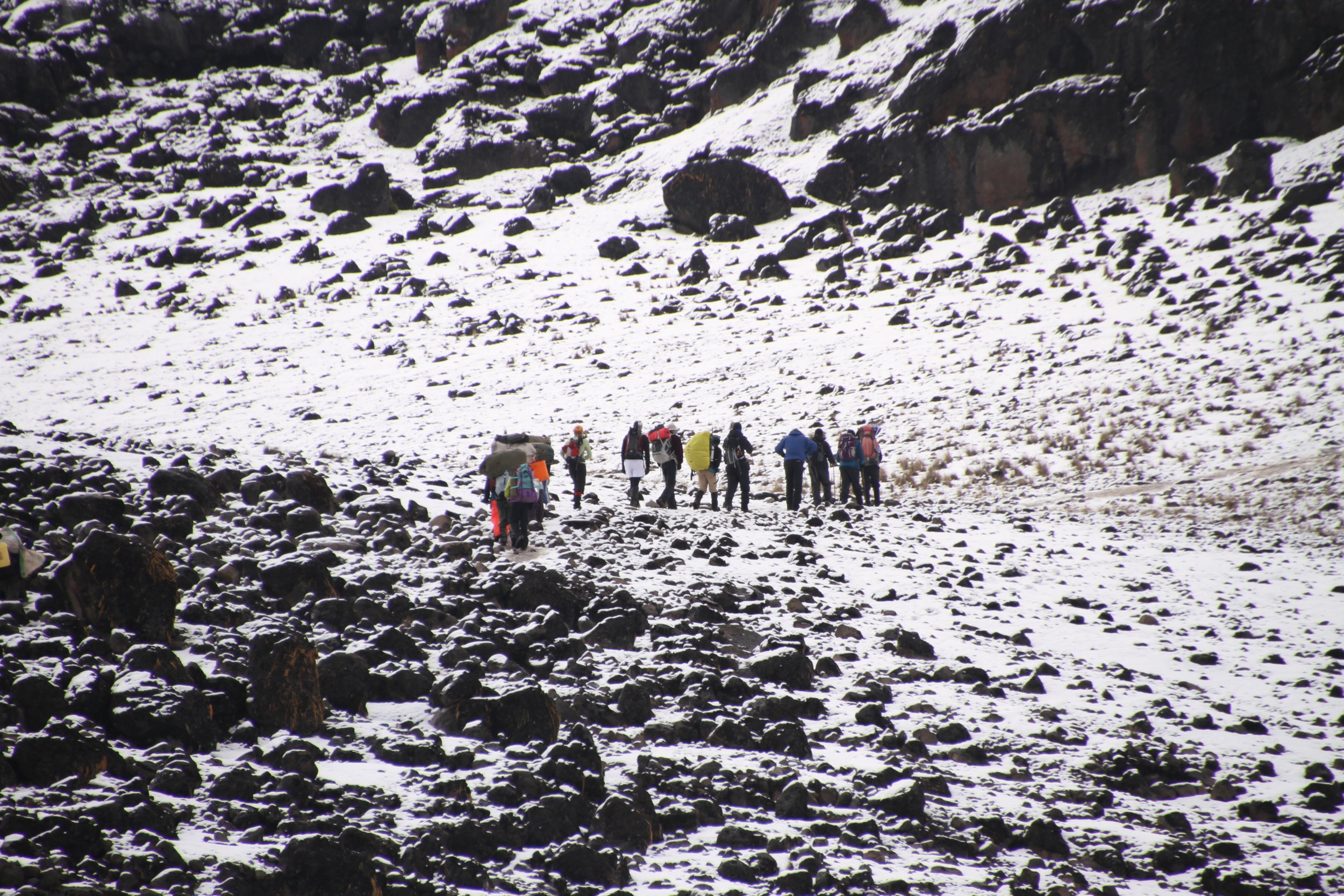
After breakfast you depart by vehicle to Kilimanjaro National Park. At the gate your crew finalise packing and after finishing with formalities you return to your vehicle for another 30 minutes or so until you arrive at the start of the Lemosho Trail. Today's hiking is through verdant afromontane forest and is steep in places. A picnic lunch is usually taken on trail during the hike before reaching Forest Camp for the night.
DAY 2 – SHIRA 1
START – 8,695FT / 2650M
END – 11,844FT / 3610M
DISTANCE – 4 MILES / 7KM
TIME – 5-7 HRS
CLIMATE ZONE – HEATH
From the forested slopes of Lemosho you ascend through Podocarpus and Juniper forest and break out of the forest on to the heath zone and the Shira Plateau. A hot lunch is taken at Shira 1 Camp and the rest of the afternoon is spent relaxing and acclimatising to the new environment.
DAY 3 – SHIRA 2
START – 11,844FT / 3610M
END – 12,631FT / 3,850M
DISTANCE – 4 MILES / 7KM
TIME – 5-7 HRS
CLIMATE ZONE – edge of alpine desert
Crossing the Shira plateau can be one of the most scenic parts of the trip and this morning we hike for around 4- 5 hours to Shira 2 Camp, where lunch is taken. The afternoon is spent relaxing and then in the late afternoon an afternoon acclimatisation hike is the way to be!
DAY 4 – MOIR CAMP
START – 12,631FT / 3,850M
END – 13,780FT / 4200M
DISTANCE – 6 MILES / 10KM
TIME – 4-5 HRS
CLIMATE ZONE – ALPINE DESERT
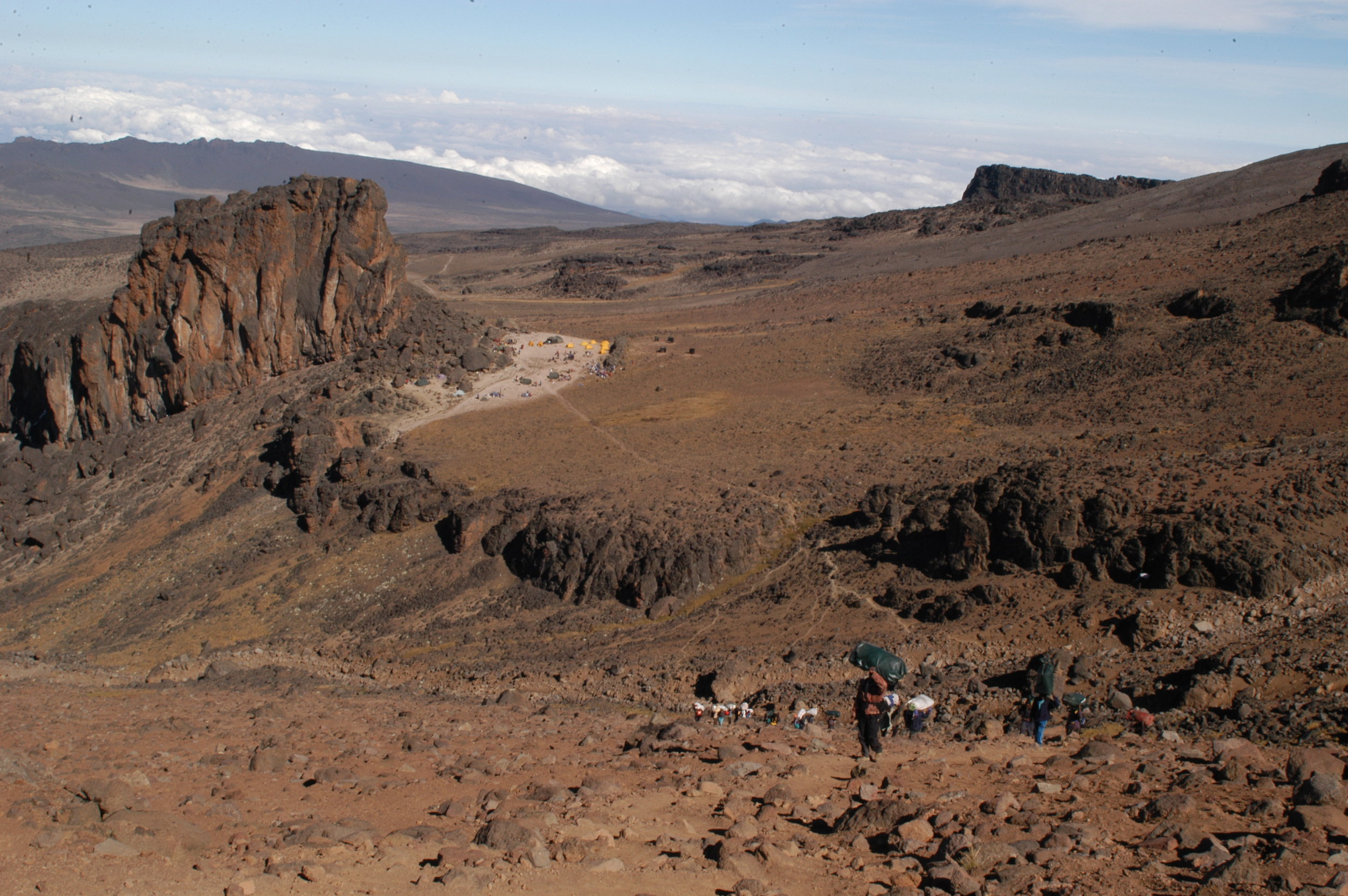
From Shira 2 to Moir is a short 2 hour hike and so today there are lots of options to either explore the area OR have a slow start to the day as the crew drop the tents and move camp. Either way lunch at Moir gives you time in the afternoon to acclimatise further by ascend to the Moir ridge and there are options for some light scrambling too.
DAY 5 – LAVA TOWER
START – 13,780FT / 4200M
END – 15,093FT / 4600M
DISTANCE – 4 MILES / 7KM
TIME – 4-6 HRS
CLIMATE ZONE – ALPINE DESERT
Most groups pass through this area for lunch and so as this is our end point then we tend to have a more relaxed start to the day arriving for a late lunch in camp and then still have plenty of time to explore the area in the afternoon. Top tip for an afternoon hike is to explore the remnant of the snout of the Penck glacier where repeated glaciations have created obvious moraine features - Kilimanjaro is a place to really explore the geology and glaciology!
DAY 6 – ARROW GLACIER
START – 15,093FT / 4600M
END – 16,087FT / 4903M
DISTANCE – 0.6 MILES / 1KM
TIME – 1-2 HRS
CLIMATE ZONE – ARCTIC
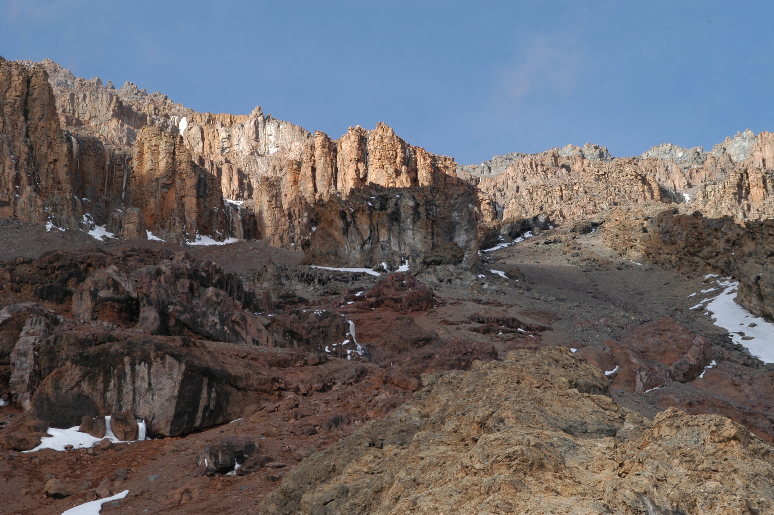
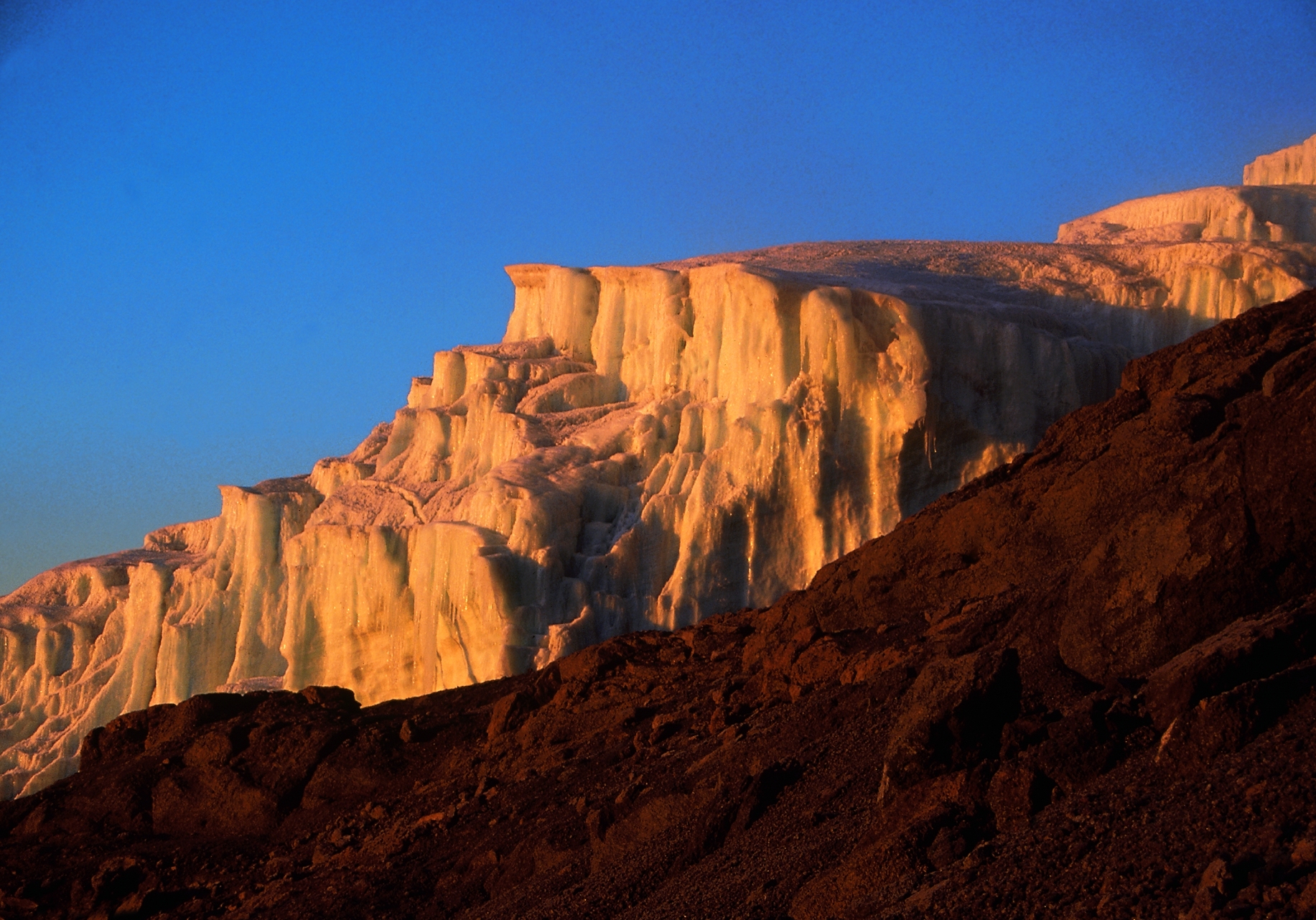
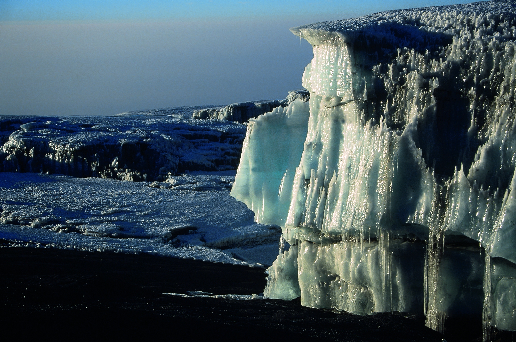
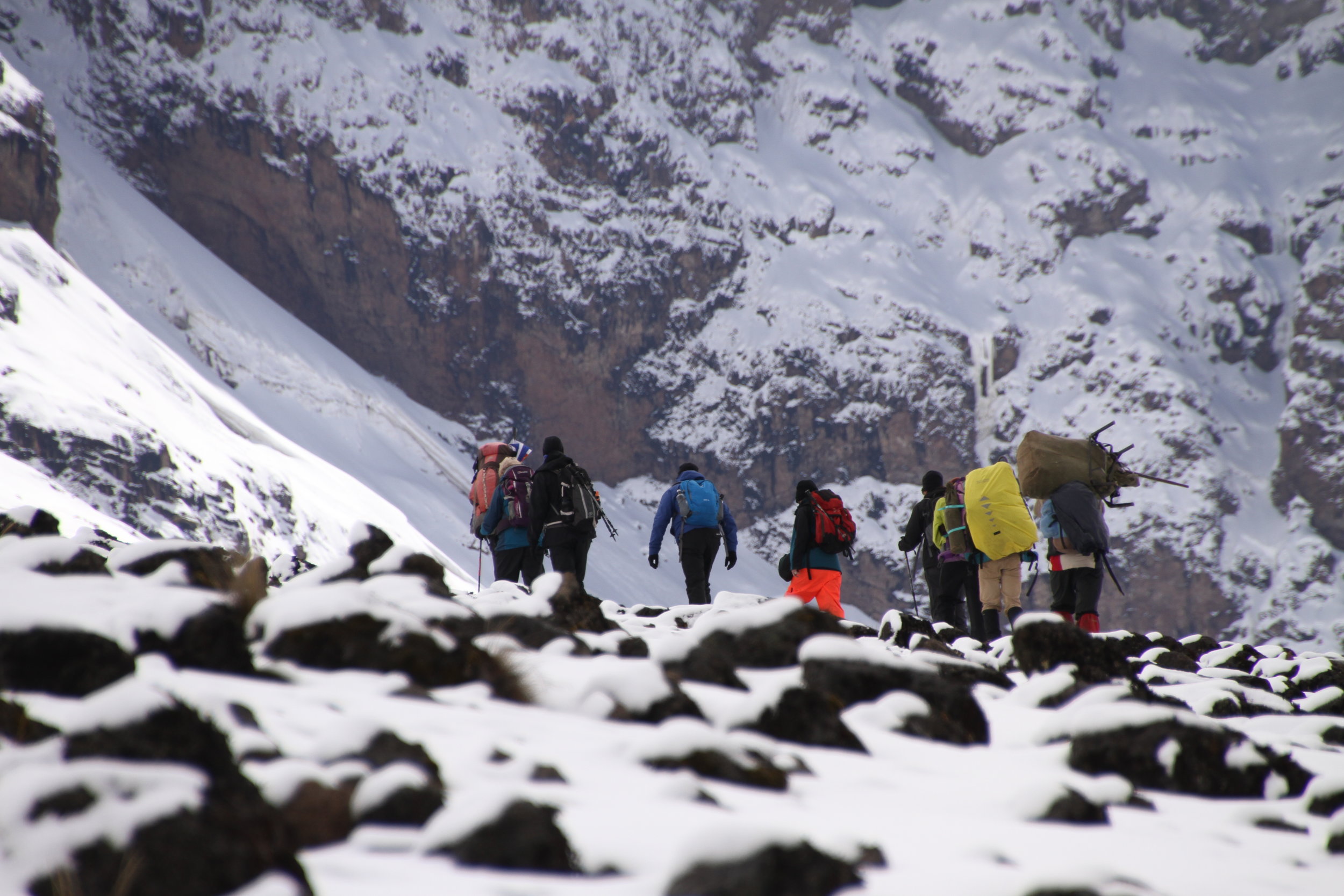
The ascent to Arrow Glacier is relatively short and leaves plenty of time to rest for a large part of the day. Short walks are possible with the guides to enjoy views of the Great Barranco Wall and remnants of the once mighty glaciers that filled the breach before having dinner and an early night.
DAY 7 – KILIMANJARO SUMMIT / MILLENIUM
START – 16,087FT / 4903M
END – 12,960FT / 3,950M
DISTANCE – 8 MILES / 13KM
TIME – 12-14 HRS
CLIMATE ZONES – ARCTIC, ALPINE DESERT, HEATH
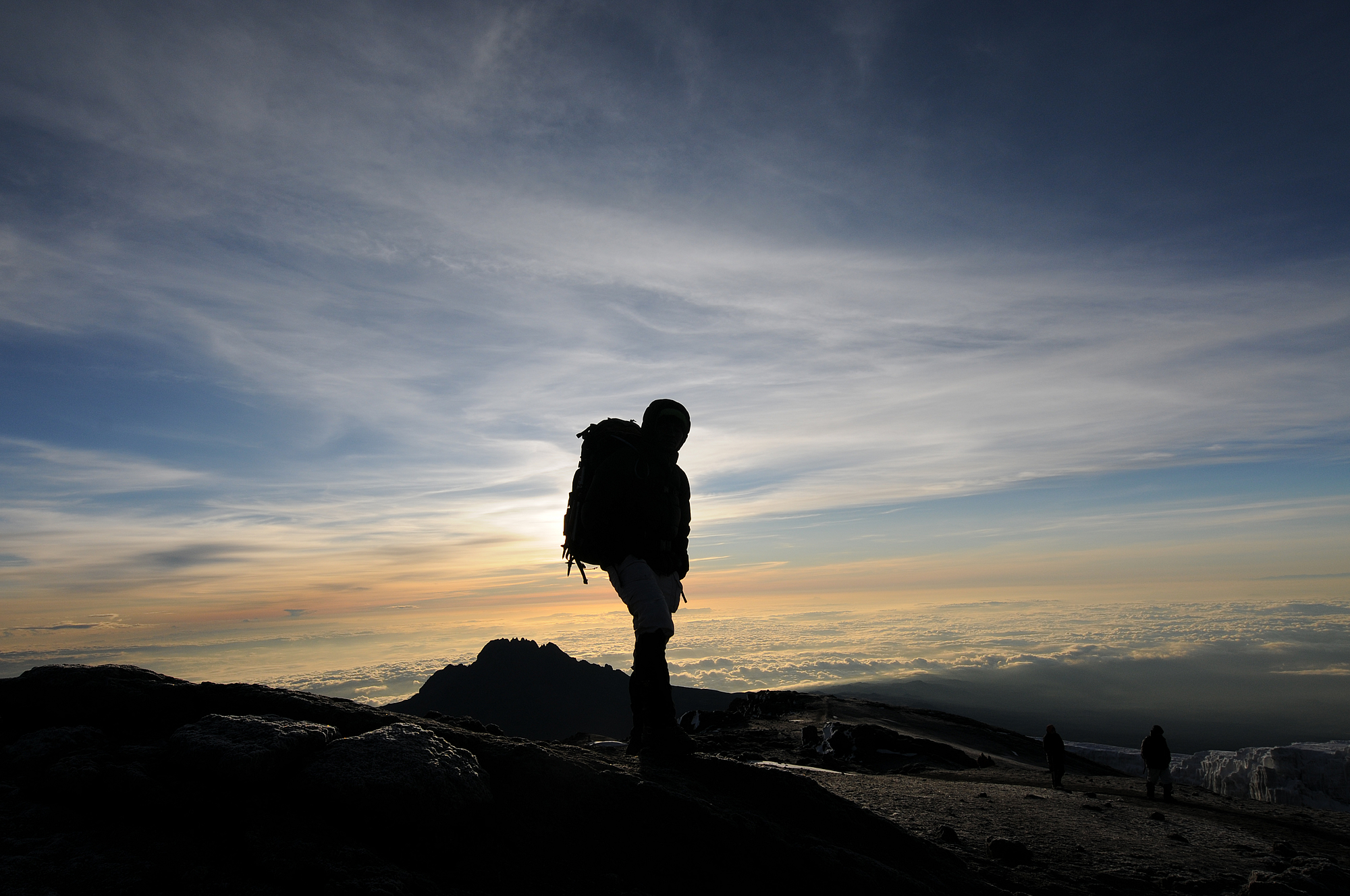
There is a very early ascent up the breach at 1am. It takes around 4 hours to reach the crater. Here there is time for a quick rest and refuel before the final push, for about an hour, to the summit (Uhuru Peak: 19341ft, 5895m). The aim here is to arrive just after dawn to enjoy the most incredible sunrise from the roof of Africa. The hike then heads down via Stella Point to Barafu Camp. Here there is another short rest before continuing to Millennium Camp for the final evening on the mountain.
DAY 8 – ARUSHA
START – 12,960FT / 3950M
END – 5,381FT / 1640M
DISTANCE – 8 MILES / 14KM
TIME – 4-6 HRS
CLIMATE ZONE – AFROMONTANE FOREST
After breakfast you descend once again through afromontane forest and in the early afternoon, after saying farewell to your crew, you are picked up and transferred back to your lodge for a well deserved shower! Later that evening you will be visited by a Summits Africa Representative to congratulate you, to find out how the trip went and to answer any final questions you may have about your onward journey.
