Lemosho 10 Day Northern Circuit with Crater
(L10G-NC-C)
WHY THIS ITINERARY?
Aimed squarely at those with the time and the inclination to take in as much as Kilimanjaro has to offer. In this 10 day program one can really take the time to acclimatize and there is some degree of flexibility for private groups to adjust the itinerary on certain days to meet the needs of the group.
DESCRIPTION
Starting on the Western side of Kilimanjaro at the Lemosho Trail Head, this route is one of the least used and circumnavigates the Kibo Massif in a clockwise direction, skirting around to School Hut for a summit attempt from the eastern side via Gilman’s Point. The default itinerary has a night in the crater which allows for a much shorter summit attempt.
HIGHLIGHTS
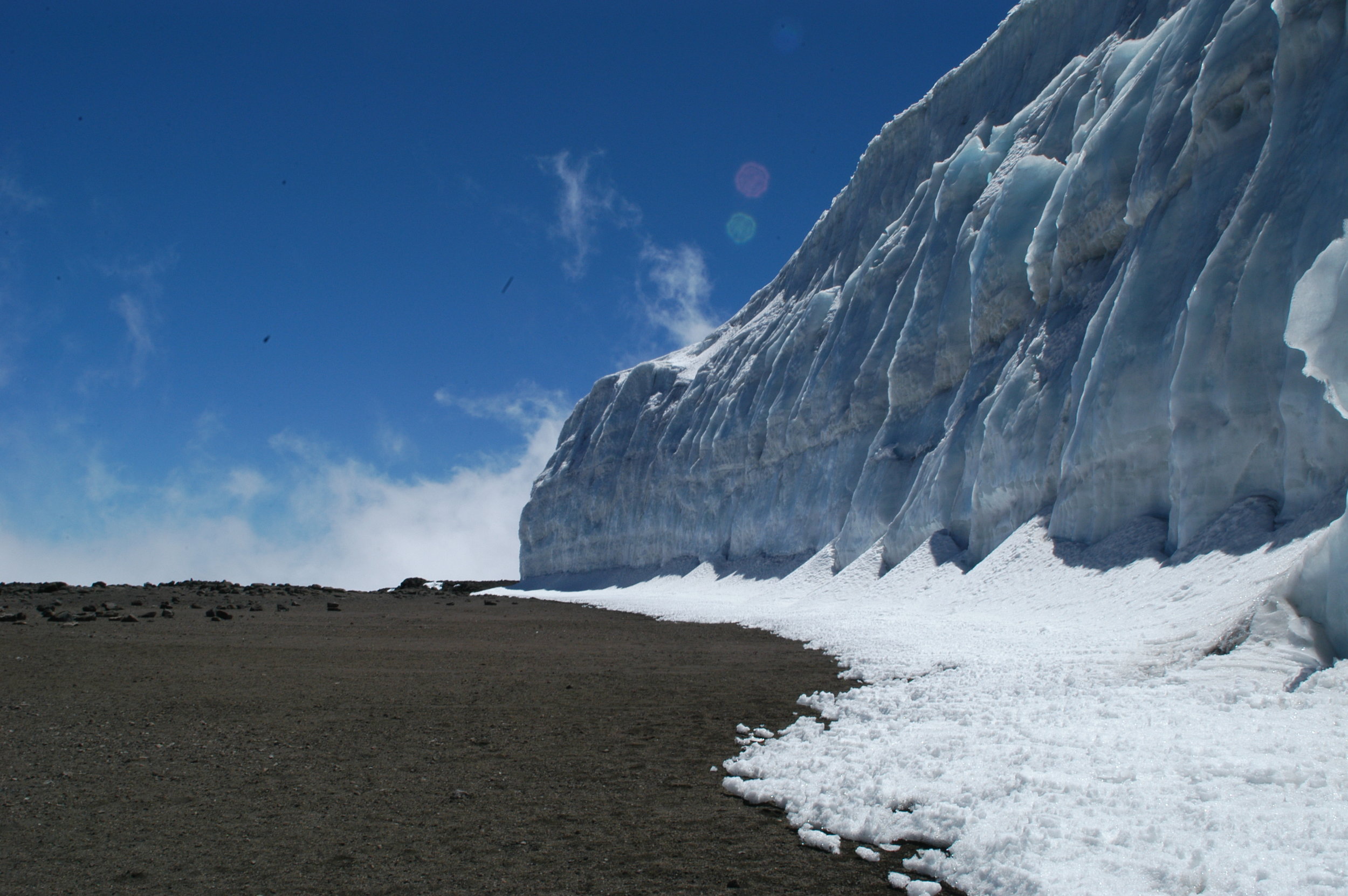
Kilimanjaro! Afromontane forest, Shira Plateau, glacial valleys and alpine desert, rarely visited northern region of Kilimanjaro, An ascent of Kibo with options to explore the summit caldera and ash pit, glaciers and the roof of Africa!
ITINERARY
In BrieF
Hike Distance – 51 miles / 82 km
Vertical Gain – 14,240ft / 4340m
Drop – 15,749ft / 4800m
Trekking Time – 60 hours
IN DETAIL
DAY 1 – LEMOSHO FOREST
START – 6,890FT / 2100M
END – 8,695FT / 2650M
DISTANCE – 4 MILES / 7KM
TIME – 4-6 HRS
CLIMATE ZONE – AFROMONTANE FOREST
After breakfast you depart by vehicle to Kilimanjaro National Park. At the gate your crew finalise packing and after finishing with formalities you return to your vehicle for another 30 minutes or so until you arrive at the start of the Lemosho Trail. Today's hiking is through verdant afromontane forest and is steep in places. A picnic lunch is usually taken on trail during the hike before reaching Forest Camp for the night.
DAY 2 – SHIRA 1
START – 8,695FT / 2650M
END – 11,844FT / 3610M
DISTANCE – 4 MILES / 7KM
TIME – 5-7 HRS
CLIMATE ZONE – HEATH
From the forested slopes of Lemosho you ascend through Podocarpus and Juniper forest and break out of the forest on to the heath zone and the Shira Plateau. A hot lunch is taken at Shira 1 Camp and the rest of the afternoon is spent relaxing and acclimatising to the new environment.
DAY 3 – MOIR CAMP
START – 11,844FT / 3610M
END – 13,780FT / 4200M
DISTANCE – 6 MILES / 10KM
TIME – 4-5 HRS
CLIMATE ZONE – ALPINE DESERT
Crossing the Shira plateau can be one of the most scenic parts of the trip and this morning we hike for around 4-5 hours to Moir Camp, where lunch is taken. The afternoon is spent acclimatising and for those with the energy a hike in the late afternoon up to a viewpoint is highly recommended to keep the blood flowing.
DAY 4 – POFU CAMP
START – 13,780FT / 4200M
END – 13,232FT / 4033M
DISTANCE - 8 MILES / 12KM
TIME – 6-8 HRS
CLIMATE ZONE – ALPINE DESERT
The route today diverges from the traditional western routes and heads north, curving clockwise around the Kibo Massif. Here, for the time being at least, there are relatively few other groups. You hike through the alpine desert skirting the edge of the heath zone to Pofu Camp. Most groups arrive for lunch and then take an afternoon acclimatisation hike.
DAY 5 – CAVE 3 CAMP
START – 12,232FT / 4033M
END – 12,468FT / 3800M
DISTANCE – 5 MILES / 8KM
TIME – 6-8 HRS
CLIMATE ZONE – ALPINE DESERT
From Pofu you hike a ridge and continue around the northern side of the Kibo Massif to Cave 3, still skirting the edge of the heath zone. Once at Cave 3 there is time to rest and a short acclimatisation walk in the late afternoon.
DAY 6 – CAVE 3 CAMP
START – 12,232FT / 4033M
END – 12,468FT / 3800M
DISTANCE – 5 MILES / 8KM
TIME – 3-5 HRS
CLIMATE ZONE – ALPINE DESERT
This is a day built in for pure acclimatization or a rest. On this day we also receive a resupply of fresh food and so a great day to simply soak up the atmosphere and enjoy the mountain without the stress of moving camp. Read a book, take a short hike, take a longer hike, or just be.
DAY 7 - SCHOOL HUT
START – 12,468FT / 3800M
END – 15,749FT / 4800M
DISTANCE – 3 MILES / 5KM
TIME – 4-6 HRS
CLIMATE ZONE – ALPINE DESERT
From Cave 3 you continue around the north eastern flanks of Kibo until you arrive at School Hut in time to check through your gear for the summit bid. After an early dinner you retire for some sleep before setting off for the summit bid.
DAY 8 – CRATER CAMP
START – 15,749FT / 4800M
END – 18,865FT / 5750M
DISTANCE – 5 MILES / 8KM
TIME – 8-12 HRS
CLIMATE ZONES – ALPINE DESERT, ARCTIC
You will awake before dawn to start your summit attempt, meandering up the switch backs to Gilman’s Point before hiking around the edge of the caldera to Uhuru Peak – The Roof of Africa! After pictures are taken and the views enjoyed, you will head to Crater Camp inside the volcano.
DAY 9 – MWEKA
START – 18,865FT / 5750M
END – 10,171FT / 3100M
DISTANCE – 9 MILES / 15KM
TIME – 9-11 HRS
CLIMATE ZONE – ARCTIC, ALPINE DESERT, HEATH, AFROMONTANE FOREST
See the famous Ash Pit during a morning hike to Reusch Crater, or summit for a second time as the sun rises. Afterwards, you make your way down via Barafu Camp and keep going through the alpine desert and heath and moorland all the way to Mweka Camp nestled on the edge of the Afromontane forest, where you will spend your final night on the mountain.
DAY 10 – ARUSHA
START – 10,171FT / 3100M
END – 5,381FT / 1640M
DISTANCE – 6 MILES / 10KM
TIME – 3-4 HRS
CLIMATE ZONE – AFROMONTANE FOREST
After breakfast you descend once again through Afromontane forest and around midday, after saying farewell to your crew, you are picked up and transferred back to your lodge for a well-deserved shower! Later that evening you will be visited by a Summits Africa Representative to congratulate you, to find out how the trip went and to answer any final questions you may have about your onward journey.


